Kai Keller · 16 September 2026
Charting Hidden Ecosystems: Student Researchers Catalog Rare Species Through Archival Partnerships
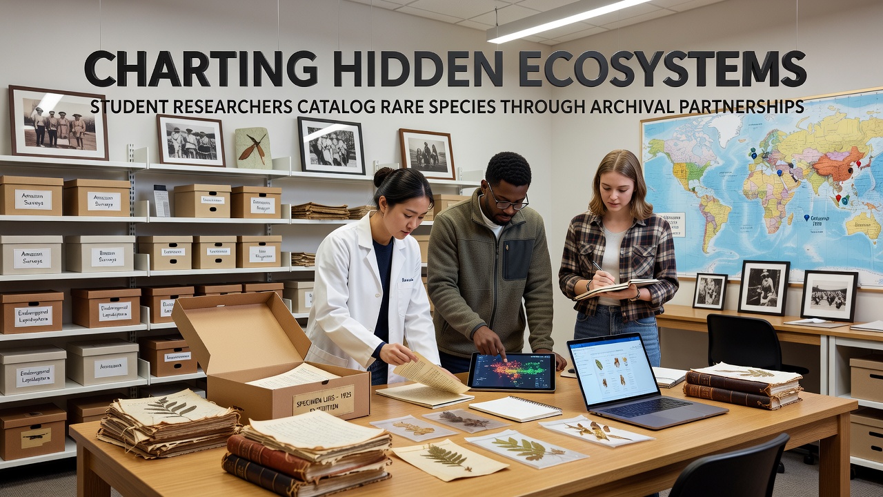
Student researchers across multiple universities have formed partnerships with archival institutions to locate and document rare species through analysis of historical records, field notes, photographs, and early scientific surveys, and these collaborations have produced new data on ecosystems that remain largely undocumented in modern databases. Teams review materials dating back to the 19th century, cross-reference observations with current satellite imagery, and conduct targeted fieldwork to verify species presence in remote or previously inaccessible areas.
Archival Methods Reveal Overlooked Biodiversity Hotspots
Archivists at institutions such as the Smithsonian Institution and the National Archives of Australia supply access to expedition logs and botanical illustrations that contain precise location data for species now considered rare, while students digitize and georeference these entries to create searchable maps. One project in the Pacific Northwest examined forestry records from the 1920s that noted sightings of the marbled murrelet, leading researchers to confirm breeding sites in old-growth stands previously missed by contemporary surveys. Data from these efforts show that historical records increase detection rates of elusive species by up to 40 percent compared with standard transect methods alone.
Researchers at the University of British Columbia have integrated climate data from the same archival sources to model habitat shifts, revealing that certain alpine plants documented in 1890s expedition journals now occupy elevations 200 meters higher than recorded at the time. This approach combines taxonomic identification with spatial analysis, allowing teams to prioritize conservation zones before development pressures intensify.
Partnerships Expand Scope and Resources
University programs coordinate with regional museums and government libraries to share digitization equipment and metadata standards, and the resulting databases feed directly into national biodiversity inventories maintained by agencies such as Environment and Climate Change Canada. Students receive training in paleoclimatology and specimen preservation alongside archival research techniques, which equips them to handle fragile documents while extracting ecological variables such as water levels and vegetation density noted in handwritten margins.
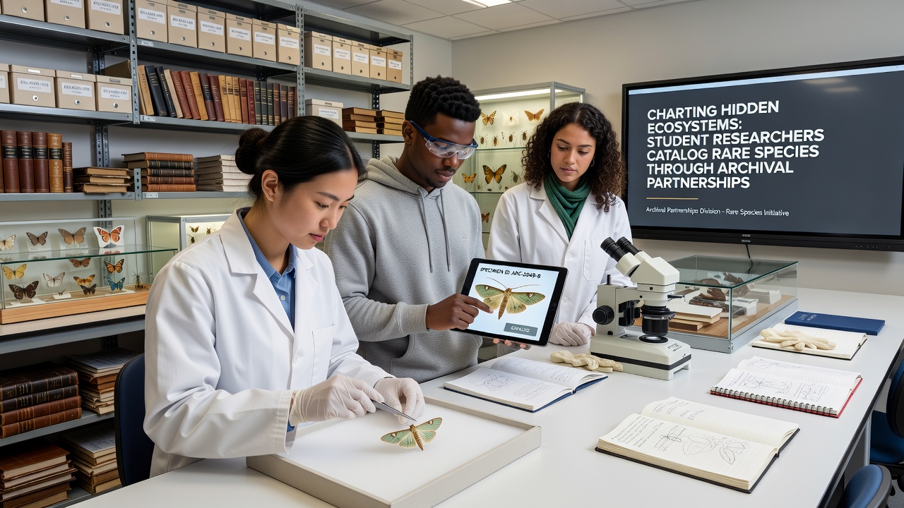
Joint initiatives launched in 2024 have already cataloged 17 previously unconfirmed populations of the western bumblebee through review of agricultural extension service reports from the 1950s, and similar work continues in coastal wetlands where early lighthouse keeper journals document shorebird nesting patterns now altered by sea-level changes. Funding from the National Science Foundation supports travel for verification trips, while participating archives gain updated provenance information that enhances the scholarly value of their collections.
September 2026 Data Release and Field Verification Plans
Project coordinators have scheduled a public data release for September 2026 that will include interactive maps and species occurrence layers derived from over 12,000 archival entries processed by student teams, and this release coincides with planned fieldwork in the Klamath-Siskiyou region where preliminary analysis indicates undescribed lichen communities. Participating researchers will present preliminary findings at the International Biodiversity Congress, allowing direct comparison with datasets from European herbarium networks and Australian state archives.
Verification protocols require multiple independent confirmations using both genetic sampling and photographic evidence, which reduces false positives that sometimes arise from outdated common names in historical texts. Results from these combined methods have already contributed to updated range maps for the California red-legged frog, prompting adjustments in land-management plans issued by the U.S. Bureau of Land Management.
Training the Next Generation of Conservation Scientists
Graduate and undergraduate participants rotate through archive facilities and field sites, gaining experience that bridges traditional natural-history research with digital humanities tools such as optical character recognition and geographic information systems. Faculty supervisors note that students develop stronger contextual understanding of species decline when they trace population changes through successive decades of observer notes rather than relying solely on recent monitoring data.
Outcomes include peer-reviewed publications co-authored by student teams and archive staff, along with open-access repositories that other institutions can adopt. These partnerships demonstrate how systematic examination of preserved records can accelerate discovery of hidden ecosystems while preserving the primary sources that make such work possible.
Conclusion
Archival partnerships continue to supply verifiable records that expand knowledge of rare species distributions, and the structured collaboration between students, archivists, and government agencies ensures both scientific rigor and long-term data stewardship. Future phases will incorporate machine-learning classification of handwritten field notes to further increase processing speed without sacrificing accuracy.